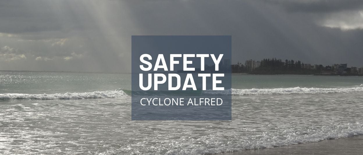
The Bureau of Meteorology (BOM) is calling it a “very dangerous system” for a particular part of Queensland.
Key Points:
- The BOM is predicting potentially deadly conditions from Wednesday, with daily rainfall of up to 600 mm.
- “Severe coastal hazards are likely for southern Queensland and northern NSW coasts,” a BOM warning read.
- Visit bom.gov.au for the most recent information.
- For more information visit Disaster Management QLD and SES QLD.
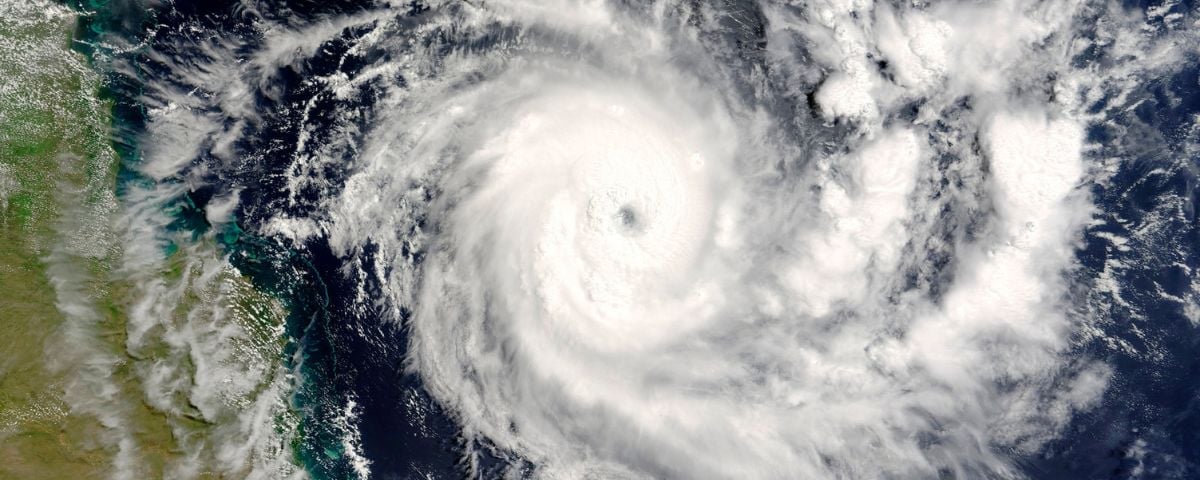
On Thursday, Tropical Cyclone Alfred is expected to wreak havoc on the Queensland coast.
The storm, which is currently off the coast of the state and moving south, is predicted to bring strong winds, damaging surf, “abnormally high tides”, high rainfall, flooding and more.
But what’s unique about Alfred, is that the tropical storm is baring down on south-east Queensland – including Brisbane.
“While it’s incredibly uncommon, there’s currently a very real threat a significant cyclone could hit south-east Queensland,” Brisbane Lord Mayor Adrian Schrinner said.
“Be aware”
The last tropical cyclone to hit the highly populated area of south-east Queensland was Tropical Cyclone Zoe in 1974.
The weather system will also affect NSW, including Sydney.
“We are asking the community to take steps now to ensure that if you are asked to evacuate you have a plan for yourselves, your families and your pets and know where you will go,” NSW SES Assistant Commissioner Dean Storey said.
BOM Brisbane manager Matthew Collopy said that while it wasn’t possible to predict the exact coastal crossing, “people from Bundaberg right down to the Gold Coast need to be aware that we may see significant winds, coastal inundation, intense rainfall and flooding.”
Visit bom.gov.au for the most recent information.
“Do everything you can”
The BOM is predicting potentially deadly conditions from Wednesday, with daily rainfall of up to 600 mm.
Premier David Crisafulli warned south-east Queenslanders to prepare for the worst.
“I know this is not a frequent occurrence, and there may be Queenslanders who can be forgiven for thinking this is something that doesn’t occur,” he said.
“Well, history shows that it does, and that’s why we are taking that precautionary approach and asking people to do everything you can to get ready.”
Unsure how to prepare? Visit the Sunshine Coast Disaster Hub for all the latest tips and information.
Storm path
As of early today, the BOM reported that the category-2 storm was 465km north-east of Brisbane.
It is expected to turn westward from Tuesday, moving towards the southern Queensland coast.
It is expected to make landfall near Bundaberg and continue moving south.
Though the storm is predicted to weaken, the effects of the cyclone will be widespread.
“Severe coastal hazards are likely for southern Queensland and northern NSW coasts,” a BOM warning read.
“A large and powerful to potentially damaging easterly swell as well as abnormally high tides are occurring about exposed southern Queensland beaches, and are forecast to extend to northern New South Wales coast from Monday.”
Footy under threat
The storm is also threatening the opening game of the 2025 AFL season – and an NRL game.
The 2024 AFL Premiers, the Brisbane Lions, are hosting the Geelong Cats at the Lions’ GABBA home ground on Thursday night.
The following day, the NRL’s Dolphins take on the South Sydney Rabbitohs at Brisbane’s Suncorp Stadium.
Get ready
The Brisbane Council is urging all residents to remain alert and be prepared.
Make all necessary preparations for possible severe weather impacts
“Make all necessary preparations for possible severe weather impacts, by clearing your yards and gutters, trimming overhanging tree branches, and secure loose items that could become dangerous during high winds,” a council statement read.
For more information on being prepared visit:
- Sunshine Coast Council – sunshinecoast.qld.gov.au
- Noosa Council – noosa.qld.gov.au
- Moreton Bay Council – moretonbay.qld.gov.au
Sandbags are available for collection (24 hours a day) from multiple locations. For more information visit here.
Sunshine Coast Council and SES QLD have Sandbags now available at Caloundra. SES has opened up two public pick-up point for sandbags:
- At their Caloundra Depot, Ulm Street South, Caloundra
- Lighthouse Rugby Club in Caloundra located at Lighthouse Park – 81 Arthur Street, Caloundra.
You can collect them or you can fill sandbags yourself.
Sandbags are a simple and effective way to help reduce the impact of flooding and protect your property.
Food and supplies
Premier Crisafulli urged residents to gather tinned food and supplies, well before the cyclone makes landfall.
“If people stay connected, I’ve got every faith that we can get through the event and, ultimately, it’s people that have to matter,” he said.
“And people that have to come first in this, and preservation of human life is a first priority.”
If affected by the disaster, Queenslanders can call the Community Recovery Hotline (1800 173 349) for information about financial help and support services.
“This part of the state has had its fair share of flooding challenges and has responded well, and I genuinely believe that people will heed warnings and will do the right thing,” Premier Crisafulli said.
For more information visit Disaster Management QLD and SES QLD.
Resources
News and updates:
If you need to talk to someone:
- SALT Hope and Prayer
- Community Recovery Hotline (24/7): 1800 173 349
- Community Recovery Lifeline Hotline (8am to 8pm): 1800 116 671 for specialist disaster counselling
For parents:
Local councils:
*Please note, this is not an exhaustive list. Contact your local council for further information.
Article written by Mike Crooks. Michael is a senior journalist and former news editor of Who magazine. His work has appeared in People, Marie Claire, The Daily Telegraph, Herald Sun, news.com.au, Qantas magazine and more.
Feature Image: Canva Pro
Get daily encouragement delivered straight to your inbox
Writers from our Real Hope community offer valuable wisdom and insights based on their own experiences!
Subscribe + stay connected with all
our latest stories
More from Local News